Case study 05Field app for road crewsClient: Promet i prostorLive
PiP
The field app road-maintenance crews work from.
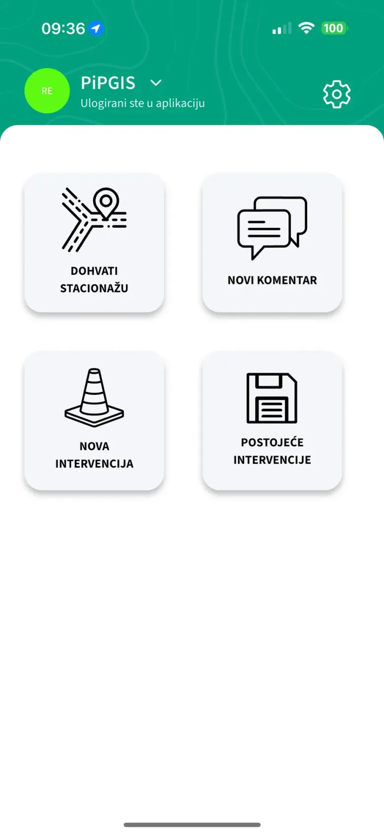
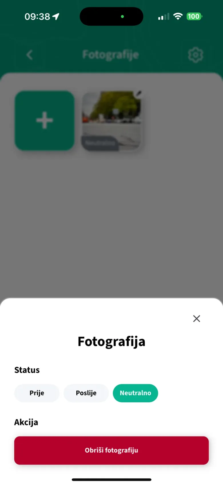
Road crews log interventions on site with photos and a GPS position, with or without a signal. We built PiP for Promet i prostor on their own GIS platform, and we still develop it.
- 3.1current release, November 2026
- 330+automated tests
- 4languages
App Store (opens in a new tab) Google Play (opens in a new tab)
The brief
Field work that does not wait for a signal.
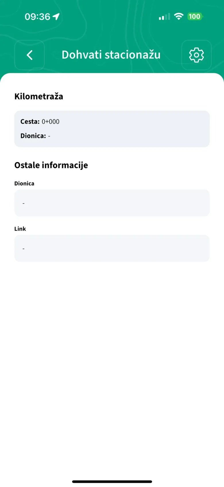
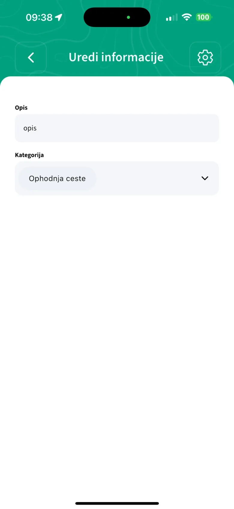
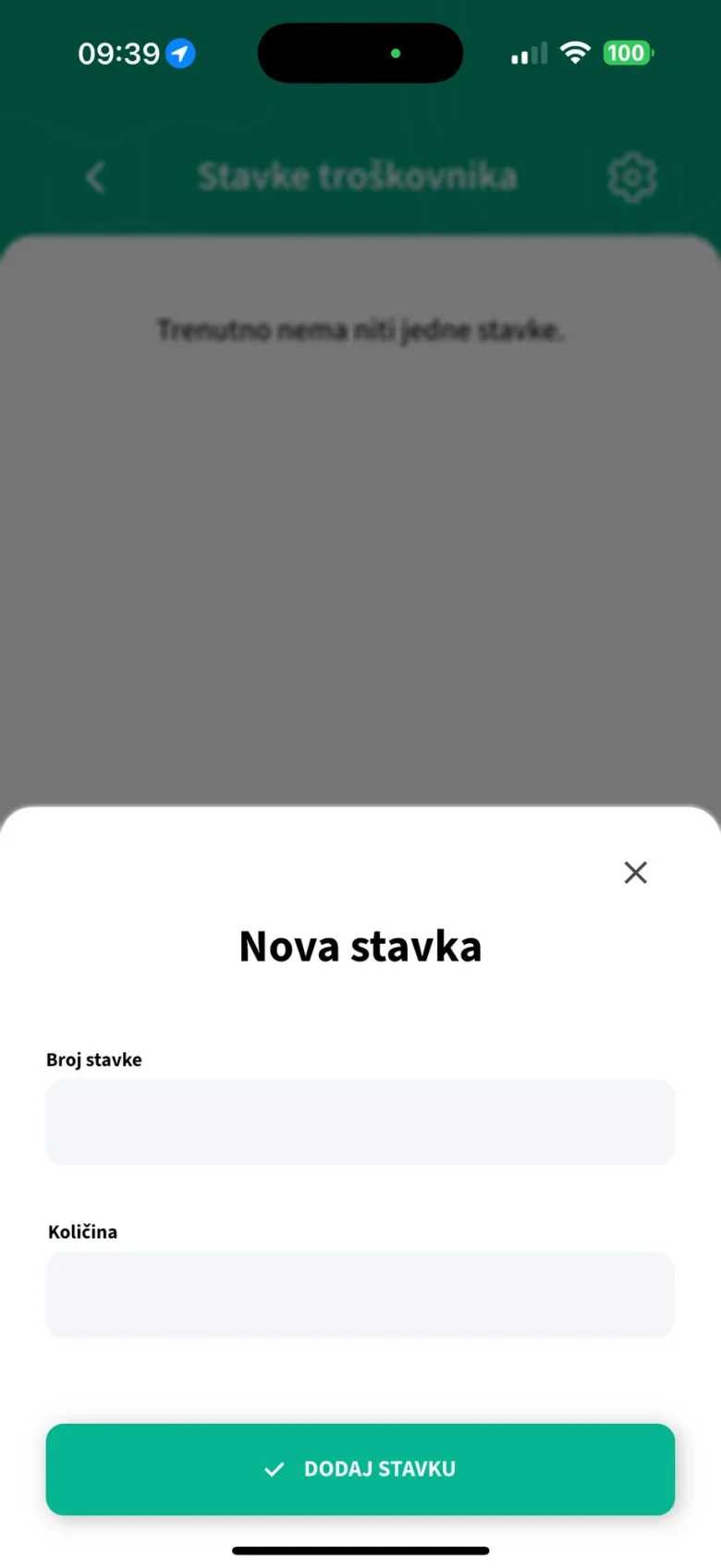
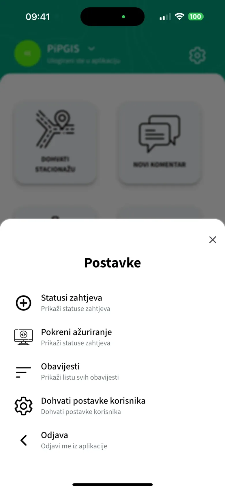
PiP is the mobile side of PiPGIS, Promet i prostor's own GIS platform. Crews open or continue an intervention, photograph it before and after, look up the road chainage for their position, and add comments, diary notes and cost-sheet items. Each entry is saved on the phone first and uploaded when there is a connection. Croatian, English, Slovenian and Montenegrin.
System map
How it fits together
- 1Crews on the roadInterventions with photos and a checked GPS position, plus comments and costs
- 2Saved on the phone firstA local Isar database, so work continues without a signal
- 3The client's GIS platformA background sync sends everything to PiPGIS
- 4Three hard partsField data has to be right
Three hard parts
Field data has to be right
Work continues with no signal
Roads run where coverage does not. Every entry is written to a local Isar database first, then uploaded in the background: at once when online, otherwise by an hourly sync.
A position you can trust
A wrong position is worse than none. A photo without a usable GPS fix is rejected, and the GPS badge turns grey once the fix is 15 seconds old.
Uploads that never double up
A retry must not create a second intervention. One upload lease per database, rows locked while they upload, a hard deadline on every request, stuck rows released after 15 minutes.
On screen
From the store listing
Stack
- Flutter
- Riverpod
- Isar
- workmanager
- Retrofit
- Dio
- Firebase Messaging
- Sentry
Our role: built for Promet i prostor, still developed by us.